

Cloud Native


Geospatial & AI at the Databricks Data + AI Summit 2025
Explore the biggest geospatial & AI highlights from Databricks Data + AI Summit 2025, including Agent Bricks & native Spatial SQL.
.png)
Snowflake Summit 2025 - highlights for geospatial
Discover top geospatial highlights from Snowflake Summit 2025 -from AI to open formats -shaping the future of cloud-native spatial analytics.


How Iceberg, GeoParquet & CARTO are reshaping geospatial
Discover how GeoParquet, Iceberg, and CARTO are transforming geospatial analytics with cloud-native, scalable, and open data architectures.


Automating your spatial workflows in Databricks with CARTO
Automate your geospatial workflows in Databricks with CARTO. Schedule, trigger, and integrate spatial data processes seamlessly using Databricks Workflows.
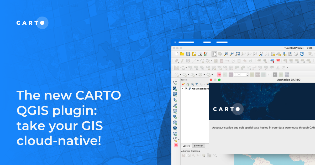

The new CARTO QGIS plugin: take your GIS cloud-native!
Modernize your GIS with QGIS & CARTO for scalable cloud-based analytics. Maximize efficiency, security, and collaboration.


CARTO for Databricks: True Native Geospatial for the Lakehouse
Discover CARTO's integration with Databricks, empowering users with native geospatial analytics for enhanced Location Intelligence and streamlined workflows in the Lakehouse.

What being “cloud-native” should really mean for your spatial data
What does it mean to be truly cloud-native? Enhance security, eliminate data silos & redundancy, and revolutionize your geospatial workflows with CARTO.


Deploy CARTO spatial apps directly in the Snowflake Data Cloud
Announcing CARTO’s support for Snowflake’s Snowpark Container Services & Snowflake Native Apps for cutting-edge geospatial analysis & optimization.


Why use Data Warehouses for Geospatial Analysis
Why use BigQuery, Snowflake, Redshift & Databricks for geospatial analysis? Explore with a real-life example.

3 ways to load geospatial data into Redshift
Looking to load geospatial data into Amazon Redshift? Find out how to do this using Python, GDAL, Airbyte & dbt.
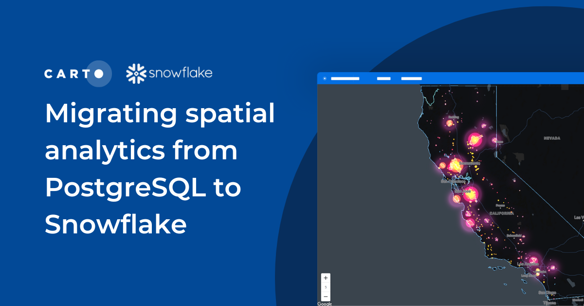

Migrating spatial analytics from PostgreSQL to Snowflake
Discover seamless migration steps from PostgreSQL to Snowflake for advanced spatial analytics. Unleash the power of CARTO for scalable, performant workflows.

Data warehouses vs. GPU accelerated analytics for geospatial analysis
We explore the benefits of using data warehouses with spatial capabilities over GPU accelerated analytics for geospatial analysis.

Academy


CARTO & Snowflake: Location Intelligence for Energy and Utilities
CARTO and Snowflake expanding cloud-native Location Intelligence for Energy and Utility organizations, unifying IoT data for resilient operations.
Nagarro & CARTO: Advancing Enterprise AI Transformation
CARTO and Nagarro partner to help enterprises move AI from pilots to production, embedding Location Intelligence into existing workflows and systems.


Unlock trade-area analysis at scale with H3 Isochrones
Scale travel-time analysis with H3-based isochrones in CARTO. Faster joins, overlap insights, and 96–99% time savings powered by TravelTime.