


CARTO & Snowflake: Location Intelligence for Energy and Utilities
CARTO and Snowflake expanding cloud-native Location Intelligence for Energy and Utility organizations, unifying IoT data for resilient operations.


The Ultimate Guide to OpenStreetMap & BigQuery
A guide to the pros & cons of OpenStreetMap geospatial data, and how to access it via Google BigQuery
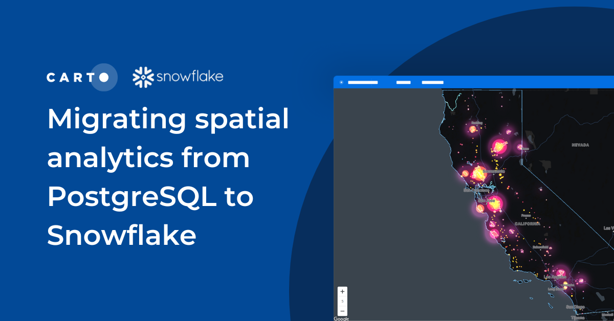

Migrating spatial analytics from PostgreSQL to Snowflake
Discover seamless migration steps from PostgreSQL to Snowflake for advanced spatial analytics. Unleash the power of CARTO for scalable, performant workflows.


Climate change data now available in CARTO thanks to The Climate Data Factory
The Climate Data Factory's (TCDF's) ready-to-use forward-looking climate change data is now available in the CARTO Data Observatory.

What we learned: #SDSC22 New York
Miss the Spatial Data Science Conference in NYC? Here’s a quick recap as well as information about how to get involved in future events.


Introducing CARTO Workflows: Spatial analytics for all users
CARTO Workflows provides a complete user interface for spatial analysis that leverages the power of spatial SQL and cloud data warehouses.


What's New in CARTO - Q3 2022
Announcing our latest release of CARTO cloud-native features for Q3 2022.


IoT Analytics & Geospatial Data: How It Works
We explore how IoT Analytics use cases are driven by geospatial data for catastrophe modeling, in smart cities & supply chain.


Using trade area analysis for CPG merchant segmentation
See how CPG data teams use trade area analysis, consumer insights & spatial data to optimize point of sale networks

Data warehouses vs. GPU accelerated analytics for geospatial analysis
We explore the benefits of using data warehouses with spatial capabilities over GPU accelerated analytics for geospatial analysis.


Databricks support for H3 in collaboration with CARTO
Introducing H3 for Databricks with CARTO! Unlock fast and efficient big data analytics in the cloud with Spatial Indexes


CARTO Driving Sustainability Impact Worldwide on Google Cloud
CARTO and Google Cloud have collaborated on sustainability projects for micro-mobility, government infrastructure, and preserving natural resources use cases.


Spatial Data Scientist of the Year Award 2022
At #SDSC22 the first winner of the Spatial Data Scientist of the Year award will be announced. Submit your nomination today!

Academy
CARTO & Snowflake: Location Intelligence for Energy and Utilities
CARTO and Snowflake expanding cloud-native Location Intelligence for Energy and Utility organizations, unifying IoT data for resilient operations.
Nagarro & CARTO: Advancing Enterprise AI Transformation
CARTO and Nagarro partner to help enterprises move AI from pilots to production, embedding Location Intelligence into existing workflows and systems.


Unlock trade-area analysis at scale with H3 Isochrones
Scale travel-time analysis with H3-based isochrones in CARTO. Faster joins, overlap insights, and 96–99% time savings powered by TravelTime.

